Agricultural Mapping
HOME > SERVICES
Transform Data into Smart Decisions
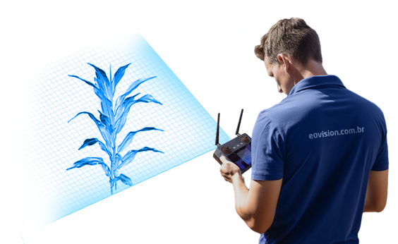
Discover the hidden potential of your field with Eavision's agricultural mapping service. Using state-of-the-art drones, we transform aerial data into valuable insights, empowering you to make informed decisions that optimize your farming practices and boost productivity.

DIGITAL MAPPING
Benefits of Agricultural Mapping with Drones:

Efficiency and Economy:
Maximize return on investment by precisely identifying areas that require intervention, saving valuable time and resources.

Early Problem Detection:
Stay ahead of pests, diseases and other threats with our early detection, enabling quick and effective interventions.

Optimization of Input Use:
Guarantee the efficient application of fertilizers and pesticides, reducing waste and promoting more sustainable agriculture.

Improving Soil and Crop Health:
Leverage our detailed data to adopt practices that protect your soil and improve the health of your crops.
AGRICULTURAL MAPPING service WITH DRONES
FAQ (Frequently Asked Questions)
Yes, our service is versatile and can be customized to meet the specific needs of different crops and field sizes.
Time may vary depending on the extent of the mapped area, but we strive to deliver detailed analysis and high-resolution maps in a short time frame.
The data provides valuable insights for crop planning, irrigation management, monitoring crop health and more, helping you make precise adjustments to your farming practices.
No, we take care of everything. Our expert team operates the drones and processes the data, providing you with comprehensive reports and actionable recommendations.
Absolutely. We understand that each farm has its own particularities. Our service is fully adaptable to your specific needs, whether for different crop types, field sizes or production objectives.
Our approach stands out for its accuracy, efficiency and ability to provide detailed data in real time through exclusive technology. This allows for faster and more informed interventions, optimizing resource use and improving overall crop health.
The insights provided by mapping allow for more effective management of water, soil and agricultural inputs, contributing to more sustainable practices. This includes reducing the use of fertilizers and pesticides, promoting soil health and minimizing environmental impact.
No, our services are scalable and can be applied to properties of any size, from small plots to large farms commercials. Our technology is designed to deliver customized solutions that meet the needs of all our customers.
Yes, our drones are equipped with advanced technology capable of mapping terrain of diverse topography, including areas with steep slopes or irregular terrain, ensuring complete coverage and accurate data.
We take privacy and data security seriously. All data collected is stored securely and accessible only by authorized professionals. We undertake not to share your information without your explicit consent.
The deadline varies depending on the extent of the area to be mapped and the specifics of the project. However, we prioritize efficiency at every stage, from planning to delivering results, to ensure you receive data in a timely manner.
Yes, in addition to providing the mapping service, we offer full technical support and expert advice to help you interpret the data collected, ensuring you can make the best decisions for your property.
Mapping SERVICE
Schedule a free consultation!
Don't miss the opportunity to unlock the full potential of your field. Contact us to schedule a free consultation. Our experts are ready to discuss your specific needs and show you how agricultural mapping can transform your production.
The fields with * are mandatory.
By submitting your data through this form, you agree to our Privacy Policy.
NEWSLETTER
Receive exclusive content
Fill in your email below to receive the best content about spray drones.
